VT SuperDARN
Login
Register
News
VT
VT Technology
SuperDARN
Student Opportunities
Links
Space Weather Portal
Calendar
VT Home
VT ECE Home
Space@VT
SD Pub List
SWF Monitor
Suggestion Box
Contacts
Personnel
Contact/Visit US
Quick Browse
Daily Multi-Radar Plots
Range-Time Plots
Convection Maps
Daily GeoActivity Plots
Interactive Plots
RTI
Fan
Map
Radars
Radar Pages
Radar Hardware
Realtime Data
Data Acknowledgements
Register/Login
Register
Login
SuperDARN Resources
Quick Start Guide
.word-wrap{word-wrap: break-word;}
Stokkseyri
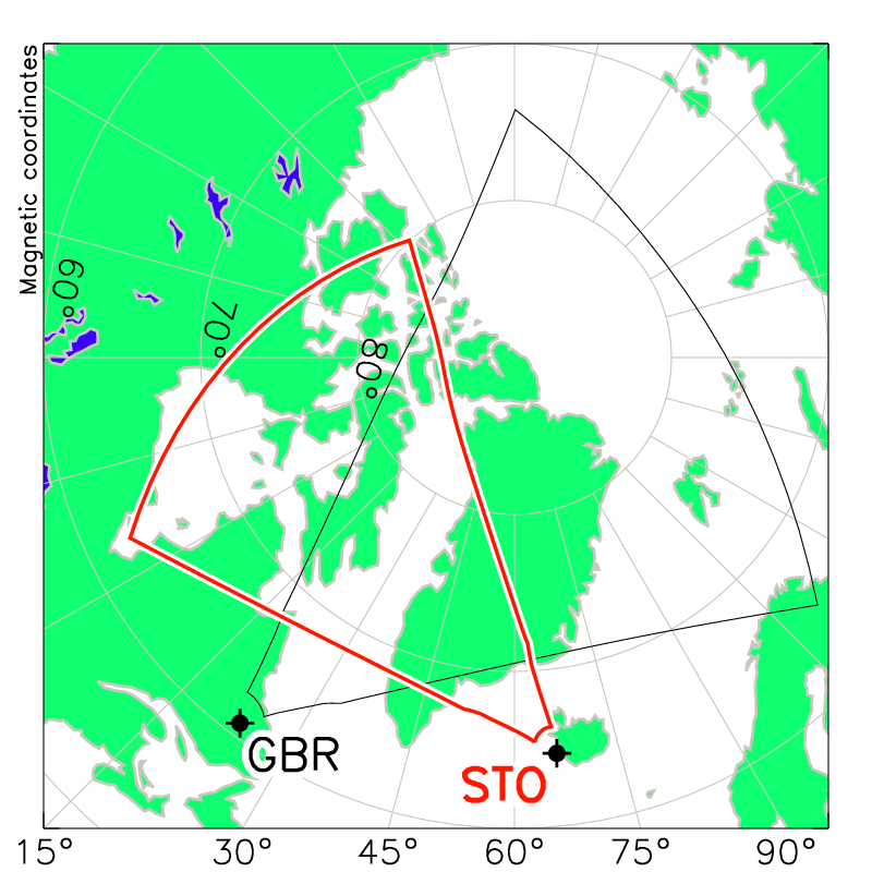
STOKKSEYRI, ICELAND (63.86 N, -21.031 E) The SuperDARN radar at Stokkseyri was built by Jean-Paul Villain and colleagues from CNRS, France and saw first light in June, 1994. Hardware from the dismantled SuperDARN radar at Schefferville was used to support construction. One of the longest-running SuperDARN radars, the transmitters and other electronics were refurbished in 2010 with support from the Radio and Space Plasma Physics group at the University of Leicester. After the passing of Jean-Paul, Dr. Aurélie Marchaudon assumed the PI-ship of the Stokkseyri and Kerguelen radars in 2008. Aurélie moved to IRAP (Institut de Recherche en Astrophysique et Planétologie) in 2012. In 2014, radar ownership and operations were formally transferred from CNRS to the Space Plasma Environment and Radio Science Group at Lancaster University in the UK, with Jim Wild assuming the role of Principal Investigator. At the SuperDARN Workshop in Leicester in June 1-5, 2015, Jim reported the following errors in the Stokkseyri hdw.dat file: (i) in position, where longitude was stated as -22.020E but should have been -21.031E (ii) in the specification of the interferometer array which is behind the main array so its Y position should have been listed as negative (not positive) On May 17, 2021 Jim announced that the radar has been off the air since March 2019 and was being handed over to a group of Icelandic ham radio entusiasts in lieu of decommisioning. The committment of Lancaster University to the site ended with the signing of paperwork to complete the transfer. It is hoped that the capabilities of the Stokkseyri radar will be largely recovered with the construction of a new dual radar at the Þykkvibaer site. Antenna drone view: https://www.youtube.com/watch?v=aq5VZSr7-Kw Notes: Email from Jim Wild to Kevin Sterne, Sept. 18, 2015: This issue [of the interferometer's Y position in the hdw.dat file] is still unresolved. It looks like the French team who built the radar may have numbered the antennas in the opposite direction to the convection, so whether or not the ± offset is correct remains unclear. I think the only way to tell is going to be to look at some elevation angle data and back lobe scatter - I need to think about how to do this though. So, for now, I'm going to leave the hdw.dat file alone. Cheers, Jim The old radar code for Stokkseyri is w.
Download Stokkseyri Hardware File